Chainman Formation - Mississippian
This site is located at the south west base of Conger Mountain in rural Millard County, Utah.
It is accessible by gravel roads north from US Highway 6/50, about 60 miles west of Delta, UT.
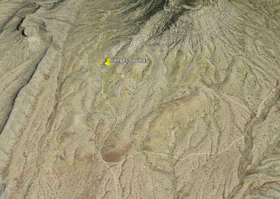
Conger Spring Location
Google Earth Coordinates: N: 39.189 W: -113.724
It is also found on Google Maps by searching for "Conger Spring, Millard, Utah".
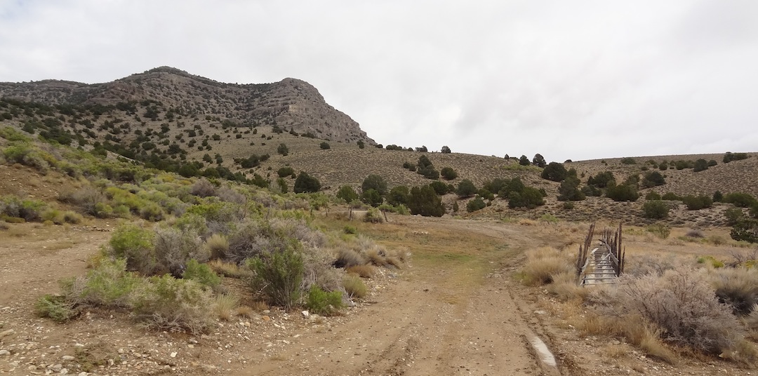
Conger Spring
The road dead ends at the spring. The actual spring is to the left in the brush.
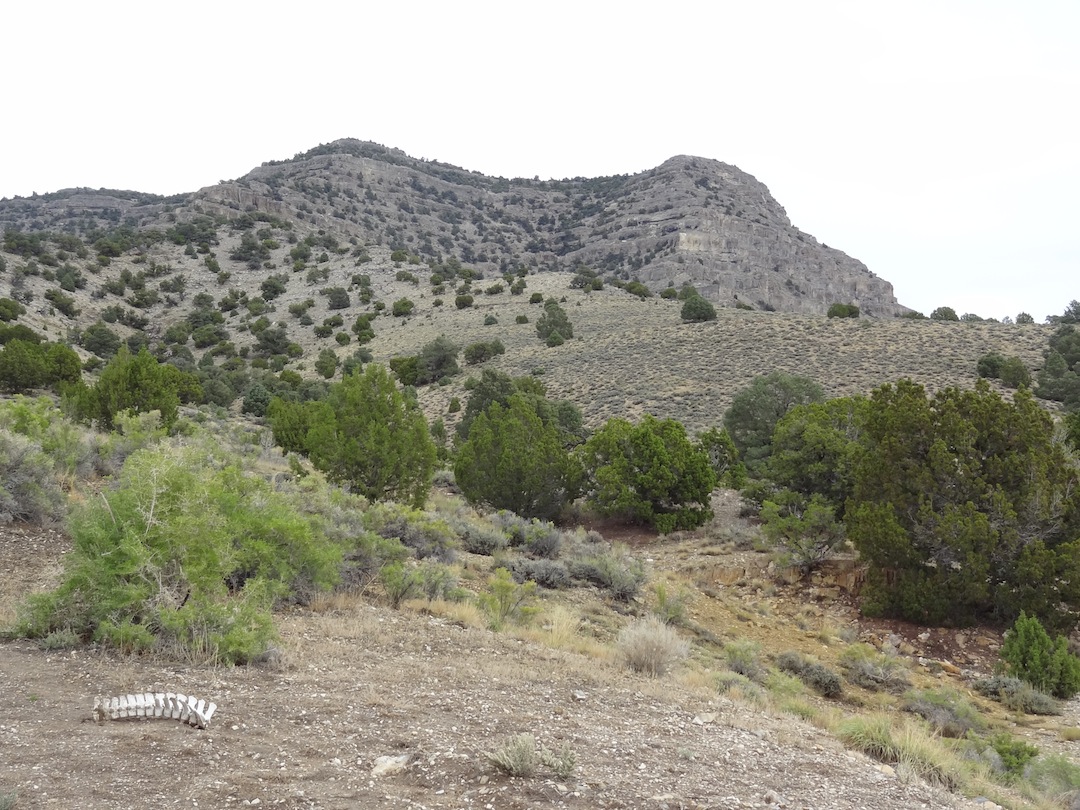
Conger Mountain
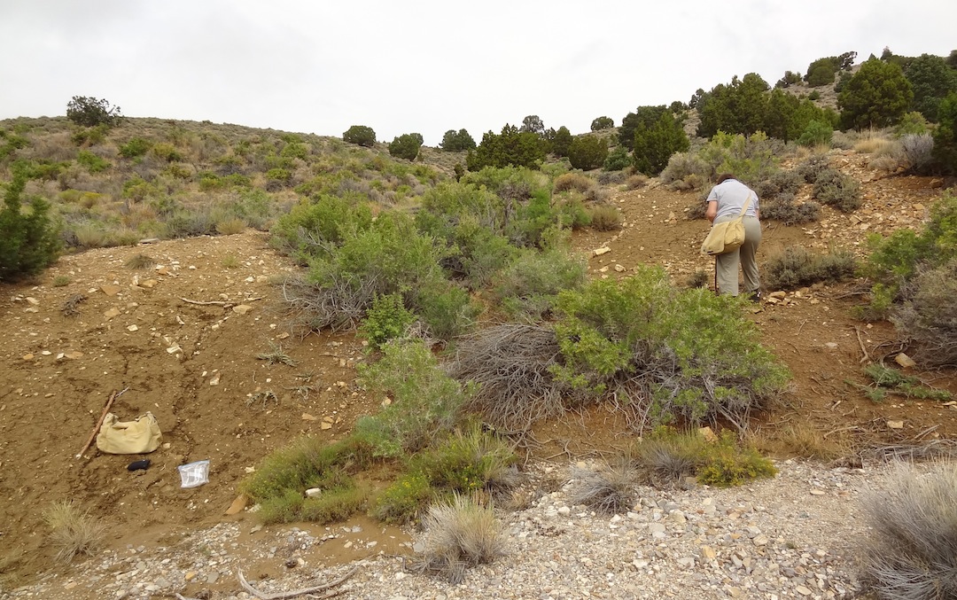
Fossiliferous muds
The fossil bearing layers are exposed in the washes and gullies just past the parking area.
The layers are a yellow/brown colored mud. The fossils wash out of the mud onto the surface.
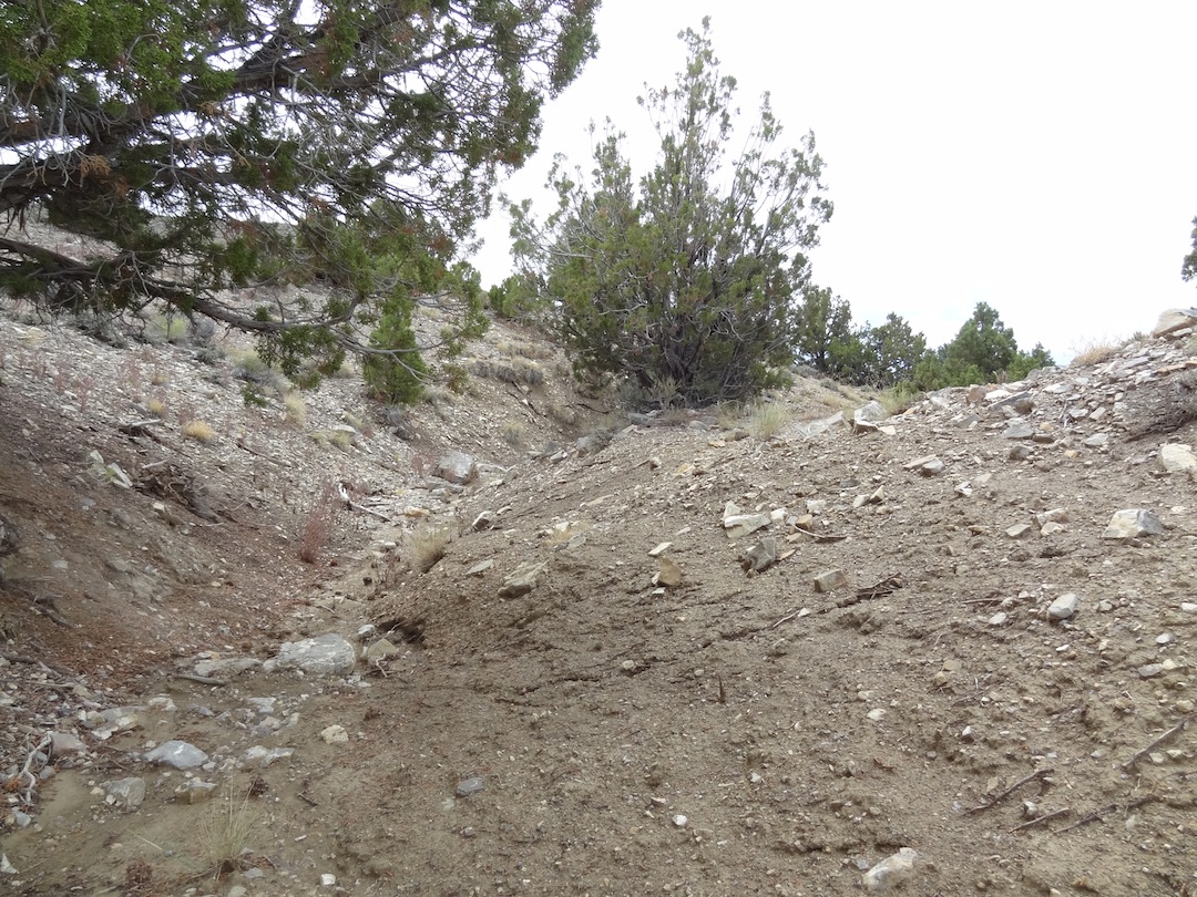
Gully to the east
Be sure to hunt up and down the washes as there is considerable variation from one spot to the next.
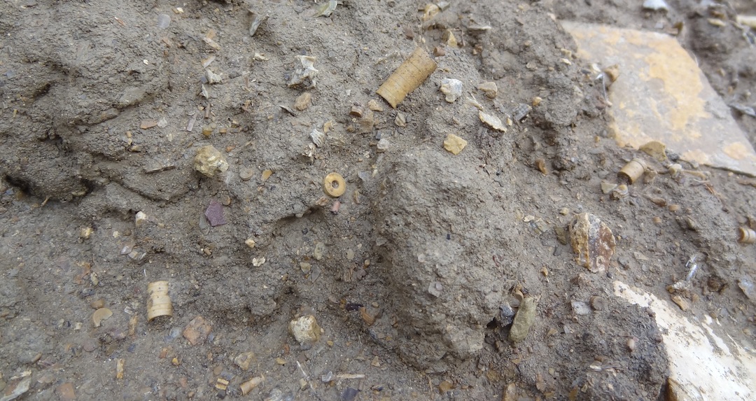
Example of of the surface of the mud layers
Crinoid stems are abundant in many sizes.
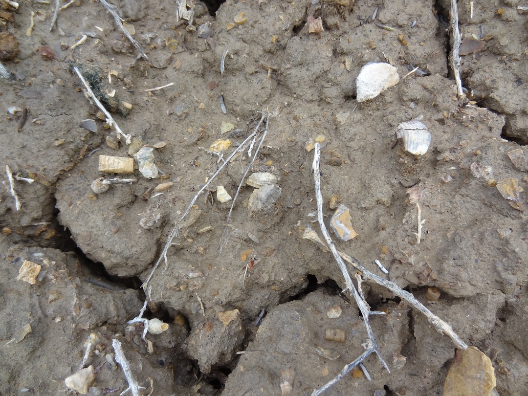
Another example of the surface
Crinoid, horn coral and bivalves
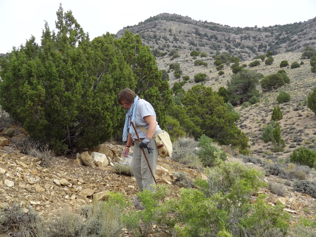
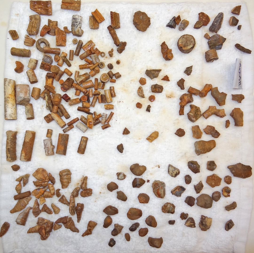
Fossils from Conger Spring
This represents about 2 hours of hunting by the two of us. All of the fossils are small.
The crinoid stem fragments are by far the most abundant fossil. We also found a number of calyx plates and parts.
There are several species of bivalves as well as horn coral and byrozoans.
This site is worthy of a half day.
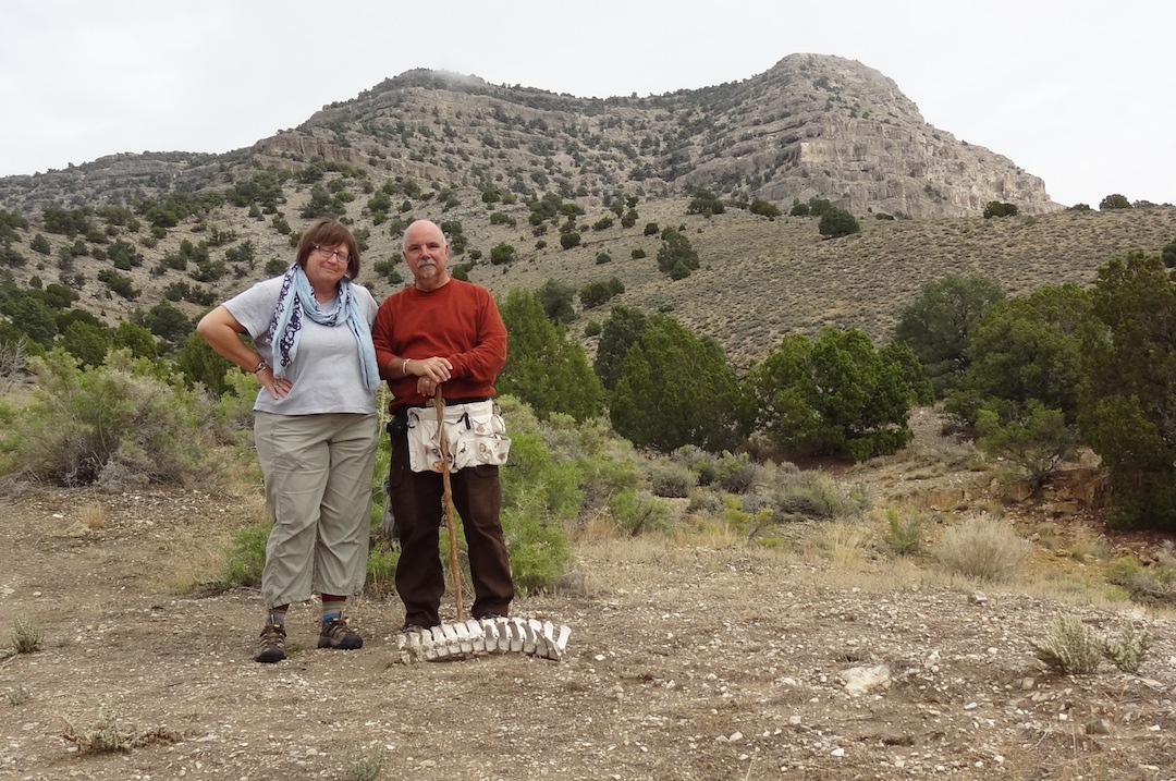
Happy Hunters
[Other Sites ] [ Fossil Page ] [ Home ]